Water Quality Data
Water Quality monitoring is carried out by respective SPCBs / PCCs and sites are selected based on the criteria for identification of monitoring of surface water bodies, and groundwater. Surface water bodies comprising rivers, lakes, tanks, ponds, creeks/sea water, canals & drains are monitored on monthly or quarterly basis, and half yearly basis in case of ground water. Water Quality for various parameters is assessed as per Guidelines for Water Quality Monitoring, 2017 issued by MoEF&CC. Micro pollutants such as metals and pesticides are monitored twice in a year, before and after monsoon. Groundwater quality data with 16 water quality parameters were collected Central Ground Water Board (CGWB) from 2000 to 2018; data for the year 2003 was not available. The CGWB monitors groundwater quality in the month of May every year. These water quality parameters are pH (power of hydrogen, -log[H3O+]), electrical conductivity (EC), total hardness - calcium carbonate (TH, CaCO3), total alkalinity (TA, CaCO3), calcium (Ca²⁺), magnesium (Mg²⁺), sodium (Na⁺), potassium (K⁺), iron (Fe2+), carbonate hardness (CO₃⁻), bicarbonate (HCO₃⁻), chloride (Cl⁻), sulfate (SO₄²⁻), nitrate (NO3⁻), fluoride (F⁻), and total dissolved solids (TDS).

Dataset
(1) Ground Water Quality Data Udaipur (2011-2018) (2) Surface Water Quality Data (2003-2019) (3) Surface Water Quality Data (2018-2021Source: For Groundwater Quality: Central Ground Water Board (CGWB), Ministry of Jal Shakti, Department of Water Resources, River Development and Ganga Rejuvenation, Government of India. https://cgwb.gov.in/wqreports.html And For Surface Water Quality: Central Pollution Control Board (CPCB), Govt. of India. http://www.cpcbenvis.nic.in/water_quality_data.html#
Related images
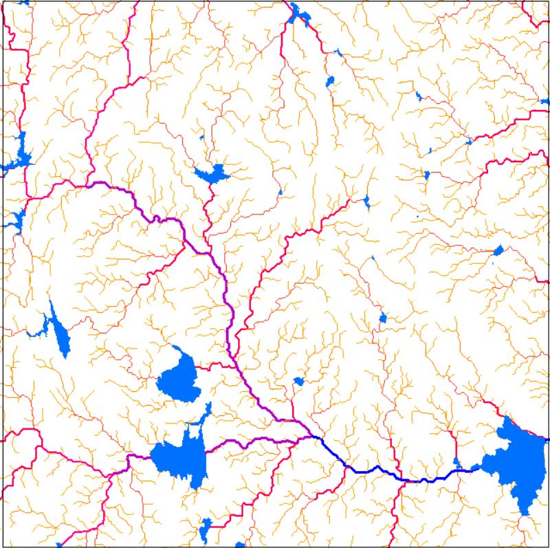
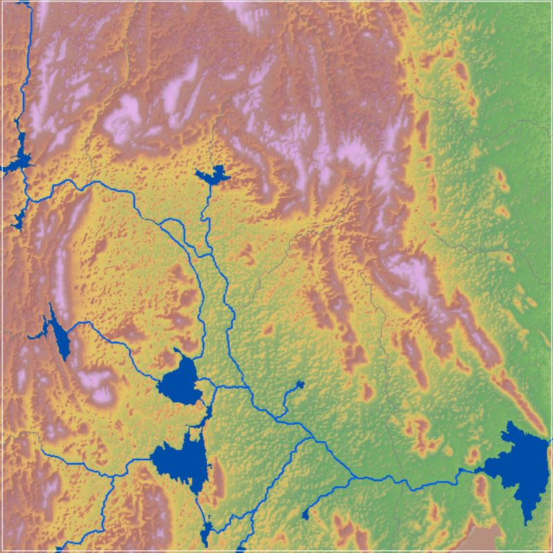
Drainage Network
View more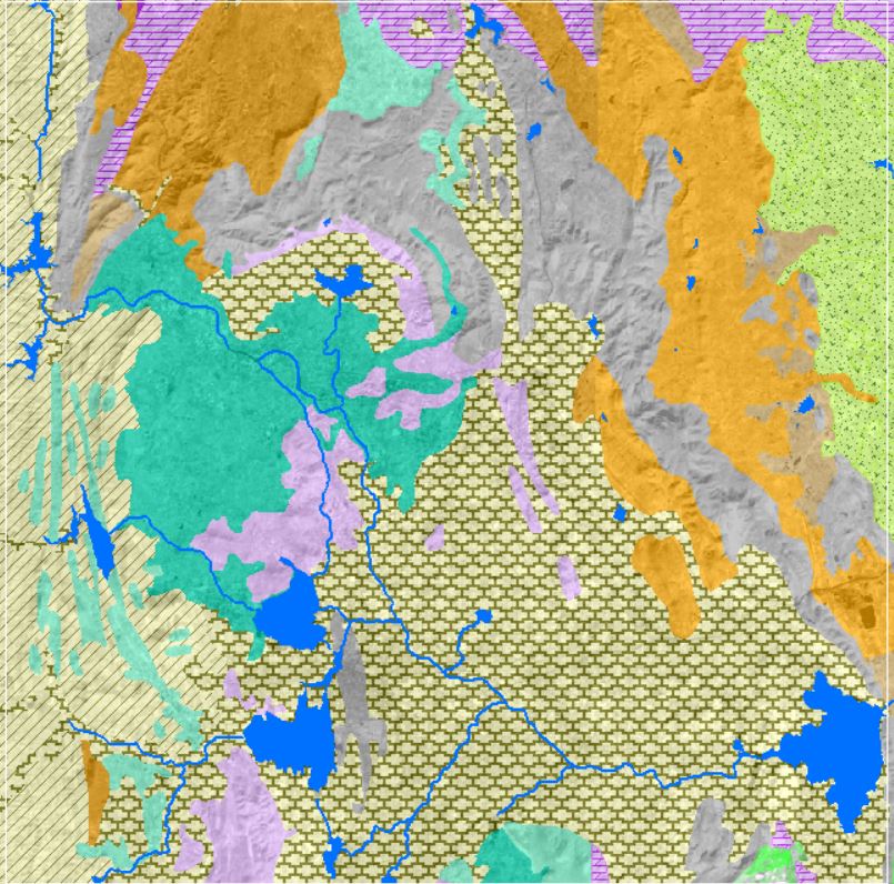
Geology and Lithology
View more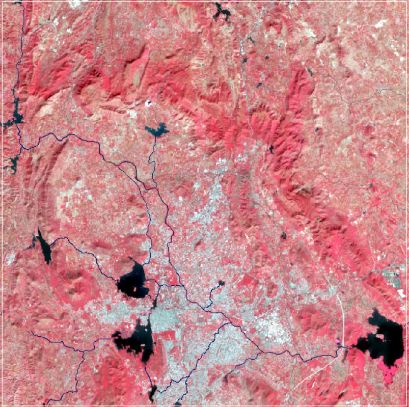
Landsat Satellite Imagery
View more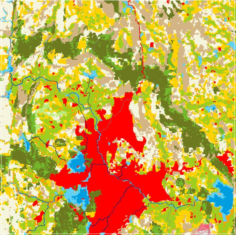
Land Use and Land Cover
View more.png)
Rainfall and ET
View more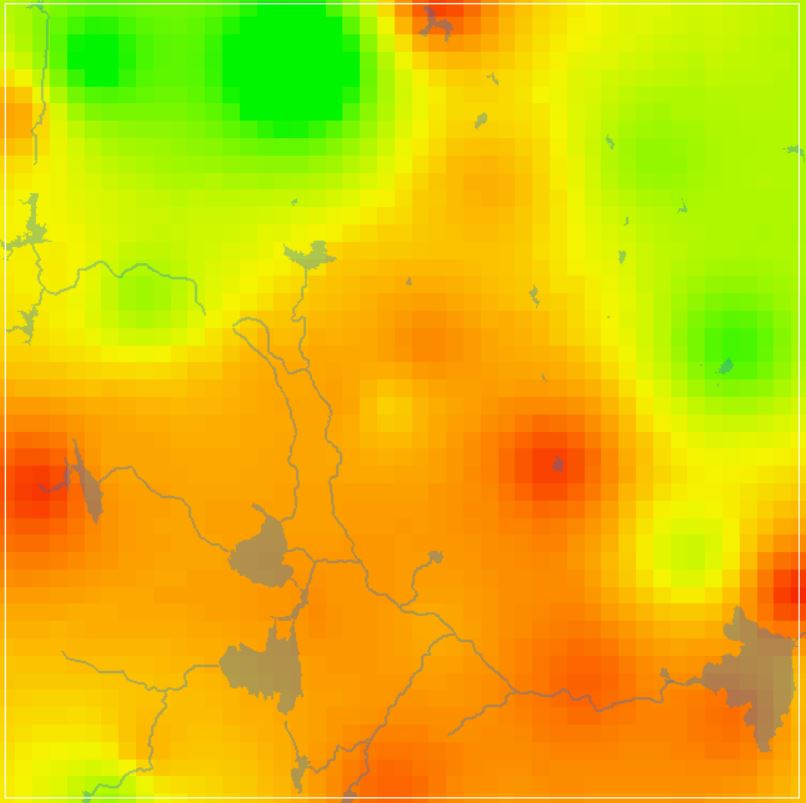
GW DTWL Data
View more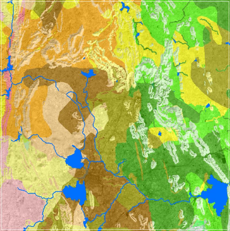
Soil Texture Data
View more